The recent attention given to American activities in the North African country of Niger has prompted us to highlight the land, the people, and the importance of this remote desert region.
The land is one of the oldest cratons in the geologic formation of the earth. This Sahara region has morphed many times from dry to wet to dry again, controlled by prevailing currents that changed and concealed ancient river beds and underground lakes, including a lost northern source of the ancient Niger River. The present topography contains a northern plateau with shifting Ergs, and the eroded peaks and valleys of the A’ir Massif. The southern part gives way to the grassy plains of the Sahel near the southward bend of the Niger River.
The peopling of Niger began near the origins of mankind. For more than a million years, waves of hominids and humans migrated in and across the region on pathways to populate every part of the earth. In Niger and surrounding areas, we see vivid rock carvings to witness these early experiences. Even now we find the remains of turmoil erupting from past and present conflicts between Berber, Hausa, Fulani, and Sunni inhabitants.
The geographic importance of the land lies in the trade routes. Links emerged in the last millennium involving exchanges of salt, gold, weapons, and documents crossing in both directions from the Mediterranean to Timbuktu, guided by lines of caravans often numbering more than 1000 in a group. Indeed this route also bore the grim paradox involving human trafficking of both scholars and slaves.
Presently, the active centers of interest are Agadez in the north, prominent since the middle ages, and the current capital Niamey on the southern Niger River. In these places, we find the past and present links to global networks involving terrorist recruitment, drone bases, and large uranium deposits.
Here and now, the Afriterra Library brings into focus ten important historical maps depicting this region over a 500 year span, and well before certain borders distorted our view. Please study these images and share every thought and insight you gain in this hands-on expansion of the world experience.
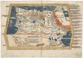
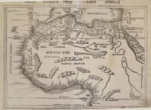
Date: 1482
Title: QUARTA ULTIMA AFFRICE TABULA
Cartographer: Claudius Ptolemy
http://catalog.afriterra.org/viewMap.cmd?number=397
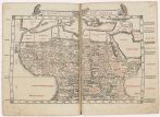
Date: 1511
Title: Quarta Africae Tabvla
Cartographer: Bernard Sylvanus
http://catalog.afriterra.org/viewMap.cmd?number=1357
Date: 1513
Title: Tabula Moderna Prime Partis
Cartographer: Martin Waldseemuller
http://catalog.afriterra.org/viewMap.cmd?number=92

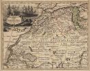
Date: 1548
Title: Mauritania Nova Tabvla
Cartographer: Giacomo Gastaldi
http://catalog.afriterra.org/viewMap.cmd?number=754

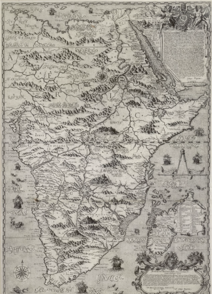
Date: 1640
Title: Nigritarum Regio
Cartographer: Joan-Johannes Blaeu
http://catalog.afriterra.org/viewMap.cmd?number=591

Date: 1720
Title: Barbarie-Guinea
Cartographer: Henri Abraham Chatelain
http://catalog.afriterra.org/viewMap.cmd?number=162
Date: 1760
Title: Africae pars Superior Occid
Cartographer: Guillaume De L’Isle
http://catalog.afriterra.org/viewMap.cmd?number=670

Date: 1857
Title: Map of Part of AFRICA (Western Sheet) (Eastern Sheet) showing Dr. Barth’s Routes, 1850 — 1855 and native itineraries collected by him.
Cartographers: Heinrich-Henry Barth, August Petermann
http://catalog.afriterra.org/viewMap.cmd?number=2494

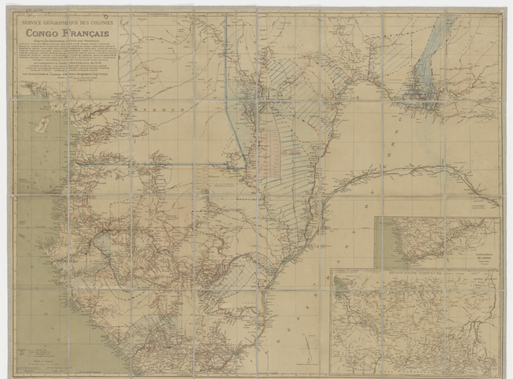
Date: 1902
Title: Ubersichtskarte zu Rabeh und das Tschadsee – Gebiet
Cartographers: Dietrich Reimer, Ernst Vohsen
http://catalog.afriterra.org/viewMap.cmd?number=1882
Date: 1911
Title: Carta Della Tripolitania-Algeria-Marocco e Teatro Della Guerra Italo-Turca
Publisher: Arcangelo Ghisleri
http://catalog.afriterra.org/viewMap.cmd?number=3274