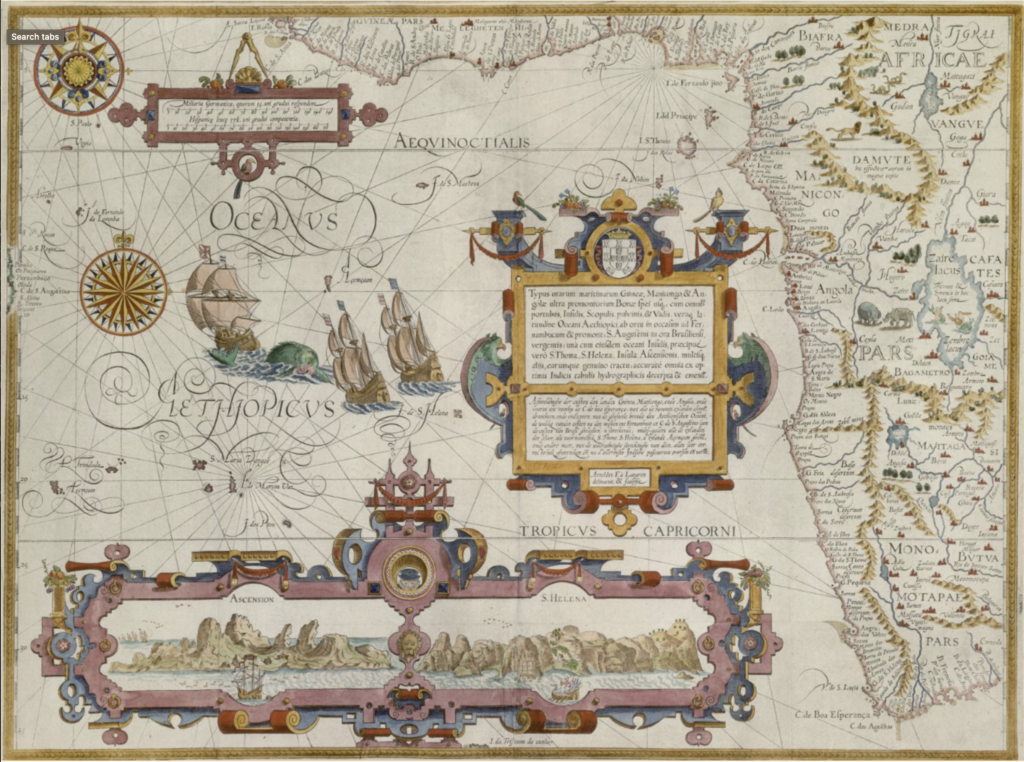
Sample the high resolution pan & zoom feature in this Linschoten map dated from 1596.
The Afriterra Historical Cartographic Library embraces a philanthropic mission to access and apply the cartographic record of Africa, enabling broader interpretation and transformative education. These 5000 historical maps equip everyone everywhere to visualize, analyze, and uncover an Africa often hidden from view.
Be the first to know when maps and services are added to the catalog.
With your philanthropic support,
The Afriterra Cartographic Library
can continue to reach and inspire
generations to come.
All Right Reserved 2021 © Afriterra